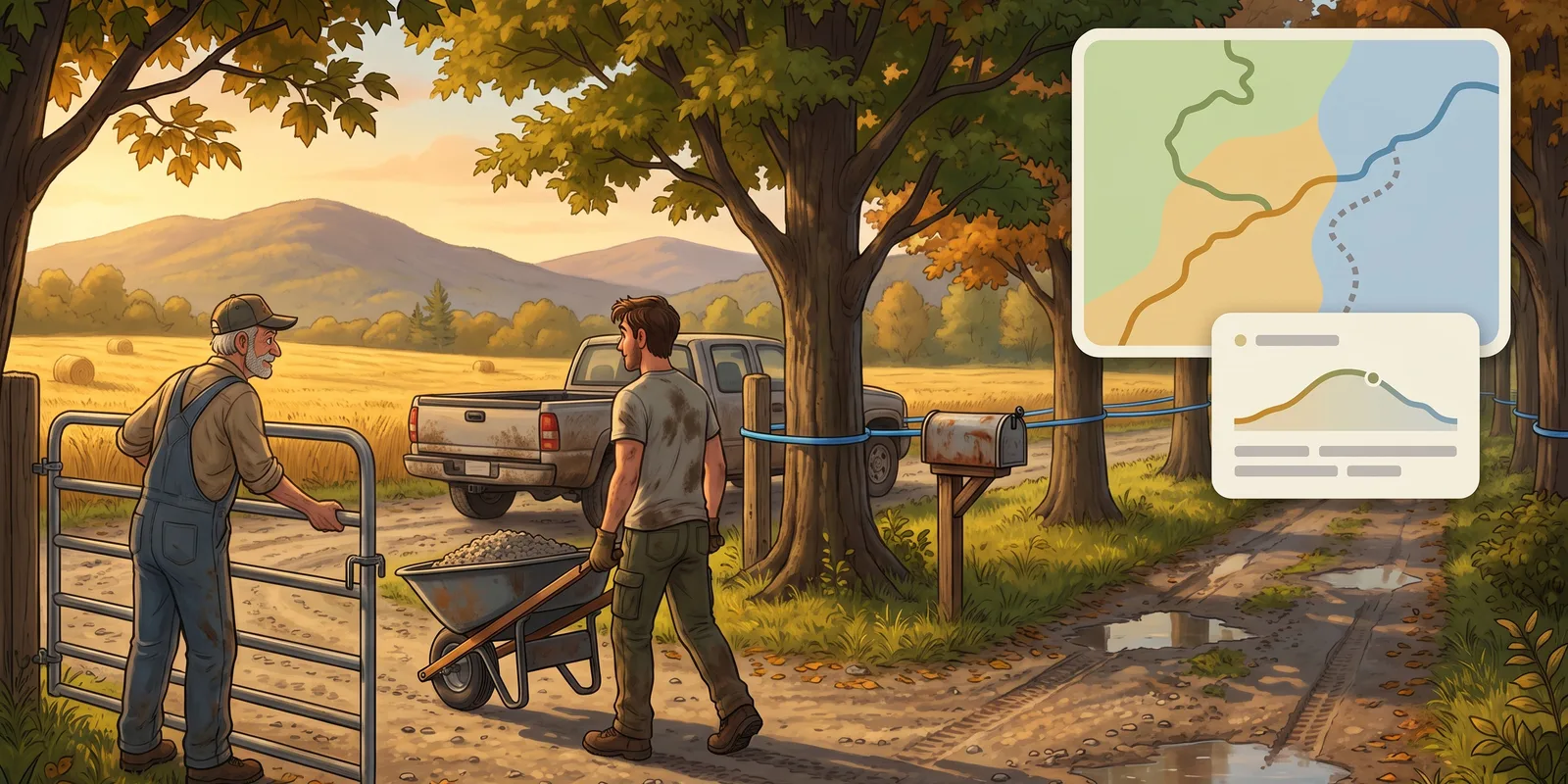
Who owns each stretch of trail
A network crosses farms, woodlots and public land, and every crossing depends on an agreement. Until now, those agreements lived in a binder or in a volunteer's memory, far from the map.
Sentinel 3.5.0 adds the Landowners section, under Trails: a page for each landowner, their contact details, their agreement and signed documents.
Their land, drawn on the map — You outline a landowner's land as zones, and Sentinel works out which stretches of trail cross it. The section's map paints each stretch in its landowner's colour; stretches without one stay dotted. When a track changes, the stretches follow.
Before the agreement runs out — The team is notified 30 days before the end date, then on the day, on the web, on the phone and by email. Each trail's page also shows the land it crosses, from kilometre 0 to the end.
Landowners are part of the Pro and Community plans.
Video tutorial: Landowners: every property, its agreement.
A lighter web app
The web app gets a new look without moving anything: sections stay where you know them. The left menu folds away with one click, or with the "[" key, to give the map all the room, and your avatar menu offers four themes: Grey and gold, Sand, Ink and Night. Every dialog now follows the same, roomier layout.
Lists you can read at a glance — The task list sorts on two levels, your choice of status, trail, type, assignee or priority. Each group shows its count, folds away and appears on the map in one click. Your folders get their own column next to the list, as in the kanban, and the structure list follows the same model.
A clearer task page — Each property of a task has its own row: status, priority, assignee, due date, folder, project, estimated and worked time. You read it top to bottom, and you create a task in the same page.
What the project really cost
A project's Statistics view used to count tasks. With Sentinel 3.5.0, it becomes a statement: labour cost, time worked against the estimate, and a table by task type that shows where the hours went and what ran over. Each row opens by work role, and the hours can also be read by person and by week.
Hours outside any task — The kick-off meeting or hauling the machinery in belong to no task. They are now logged on the project, on the web and on mobile, and count in the total.
A report to hand over — Export PDF report, in the project's ⋯ menu, lays this statement out on paper for a board, a municipality or a funder.
Video tutorial: Projects: the whole job, at a glance.
A real editor for your trails
A trail's page used to stop at its name, its difficulty and a file to replace. It becomes an editor: the map fills the screen, and the page gives the trail's climbs, slopes and profile, with a 3D flyover from end to end.
Fix the track without going back out — The Track tab edits the geometry right on the map: move points, redraw a section, split a trail in two, shorten an end, smooth or round it. Tasks and structures on the section you touch are moved along, and you see where before applying. A new trail can also be drawn without a file.
One track, several activities — The same trail can serve mountain biking in summer and fat biking in winter without importing a copy: it shows up in each of its activities. In the list, Edit adds or removes an activity for a whole selection, and when an activity goes, Sentinel asks where the tasks and structures attached to it should go.
Your tracks in GPX, KML or GeoJSON — One trail, or a whole selection from the list, exports for a GPS watch, Google Earth or mapping software. The KML imports back into Sentinel with its name and difficulty.
Video tutorial: Manage your trails: the ground changes, the track follows.