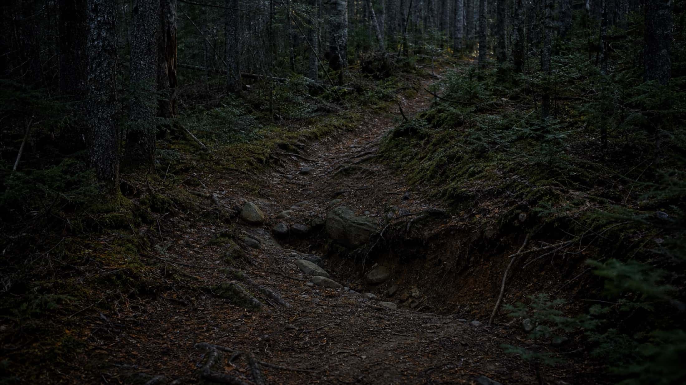
Spot, document, resolve — without missing a thing
A maintenance task is a problem on your network, recorded at the exact spot where it is — with its type, its photos, its priority and the person who has to fix it. You create it on your phone in the woods, follow it from the office, and close it once it's done.

What is a maintenance task in Sentinel?
A maintenance task is an issue found on the network, recorded at the exact spot where it sits: a tree across the trail, a torn-off sign, a slippery boardwalk. It carries its GPS position, its photos, its type, its priority, the person responsible and its progress — from the report in the woods to the documented repair.
- Replaces
- Photos dropped in a group chat, to-do lists on paper, and emails you dig up three weeks later.
- Where it happens
- Created and closed on the phone in the field, tracked on the web at the desk.
Four screens, and it's logged
Found a spruce lying across the trail? The + button on the Field screen, the type of problem, the location — the phone starts from where you stand and ties the task to the trail — then a photo and the form. No signal at the bottom of the valley? The task waits on the phone and syncs as soon as you're back in coverage.
- A precise point, or a whole segment when the problem stretches over a distance
- The camera opens right away, but a photo is never required
- Without signal, the task is kept and sent later, with nothing to redo
Every problem has its type
Nine types come installed with your place: fallen tree, erosion, water, mud, broken plank, drain, sign, other and segment. Add your own — “Bridge to rebuild”, “Missing blaze” — with their name and icon. The type gives the map marker its icon and works as a filter everywhere in the app.
- 9 predefined types, ready on day one
- Custom types, with the icon of your choice
- Each type only shows up in the activities it applies to
One task sheet that tells the whole story
At the office, one click on a task opens its sheet: where it sits on the map, its priority, its status, who has to fix it, who reported it, the photos and the time already spent. It moves from New to Ready, In Progress, On Hold and Done — by dragging its card across the kanban columns, or with one click on Mark as Done.
- Four priorities: Critical, High, Medium, Low
- Assigned to a person or a group, who finds it in their planning
- Folders to group tasks by sector or by project site
In the field, the list answers the morning question
On the phone, the list sorts tasks by status, then by priority: the first one is always the most serious among those nobody has picked up yet. Once you reach a sector, follow mode shows everything left to do within 55 metres.
- Markers carry the type's icon on the map
- Follow mode ignores your filters so nothing slips by
- The map and the tasks stay available without signal
The repair leaves a record
On site, the crew logs its time in a single entry: one duration per person, even for equipment that has no account. The task sheet adds it up, broken down by work role. A finished task doesn't disappear: it stays in the history, with its photos and hours, for partners, insurers or next season.
- The whole crew's time logged at once, each at their role
- The cost calculated at each role's rate
- Finished tasks stay searchable and exportable to Excel
A link for the contractor, without creating an account
A municipality, a contractor or a neighbouring club needs to see a single problem? Share the task through a public link: the map, the photos and the GPS file, nothing else. You close the link once the work is done.
- No sign-up for the person who receives the link
- You decide whether the photos are visible
- The link closes in one click
No more reports lost in group chats
A fallen tree reported in a Messenger, Facebook or WhatsApp group. Someone replies "we'll look into it." A few weeks later, the message is buried under the group's other conversations. No photo, no precise location, no follow-up. With Sentinel, every report is geolocated, documented and tracked to resolution.
- No more information buried under group chatter
- No more "where exactly is it?" with no answer
- No more forgotten tasks with no proof or follow-up
Frequently asked questions
What types of tasks can I create?
Nine types come installed with your place: fallen tree, erosion, water, mud, broken plank, drain, sign, other and segment. You add your own, with their name and icon. A task is a precise point, or a segment when the problem stretches over a distance.
Can a task be assigned to multiple people?
A task is assigned to a person or to a group. Several people can then log their time on the same task, each at their own work role.
What stages does a task go through?
Five statuses: New, Ready, In Progress, On Hold and Done. You move it forward by dragging its card across the kanban columns, or with one click on Mark as Done in its sheet. Each task also carries a priority: Critical, High, Medium or Low.
What happens to a closed task?
It stays in the trail's history, viewable at any time. Useful for proving maintenance was done, or for detecting a recurring problem at the same spot.
Does it work without network?
Yes. You can create tasks, take photos and document without any cellular network. Everything syncs automatically as soon as signal returns.
Do conditions update automatically when someone works on a trail?
When a crew member sets a task to "In progress" on an open trail, the app offers to switch the trail to "Under construction". One tap, and your visitors see the update, with the trail's tasks on the widget's map. When the last in-progress task is done, the trail goes back to "Open" on its own. If a task stays in progress for a long time, a reminder keeps the trail from being left under construction by mistake.
How it's done, step by step
The documentation articles covering this feature, written for the person who uses it.
- 01The two view modes, the list groupings, folders, and the button that projects a group onto the map.W
- 02Upload a photo taken in the field — Sentinel reads its GPS location and suggests the nearby trails.W
- 03Combine status, priority, type, trail, person and date to isolate exactly the tasks you care about.WM
- 04What a marker on the map tells you, what a card in the list tells you, and how the list is ordered.M
- 05Give a contractor, a municipality or a neighbouring club access to a single task — map, photos and GPS file — without creating an account for them.WM
- 06The nine predefined types, creating custom ones, picking icons, and why activities decide what shows up.WM
The craft behind the tool
Guides from our blog on the work itself, built on agency and federation manuals.
Stop driving out for nothing: how to get more done on your trails
Maintenance hours are scarce and every trip costs money. What a wasted trip costs, why outings fail, and four habits drawn from trail managers in Québec, the US and France so that every trip counts.
5 min · 9 sources
5 min
9 sources
Trail management: a practical guide for clubs and parks
Describing each trail, designing for water, inspecting, deciding what to fix first, funding the work and writing it into a plan. What the US Forest Service, IMBA Canada, the Appalachian Trail Conservancy and the Québec and Swiss hiking federations recommend.
8 min · 14 sources
8 min
14 sources
Stop losing problems in the forest
With Sentinel, a reported problem is a problem that will be documented, prioritized and resolved.