Landmarks on the map
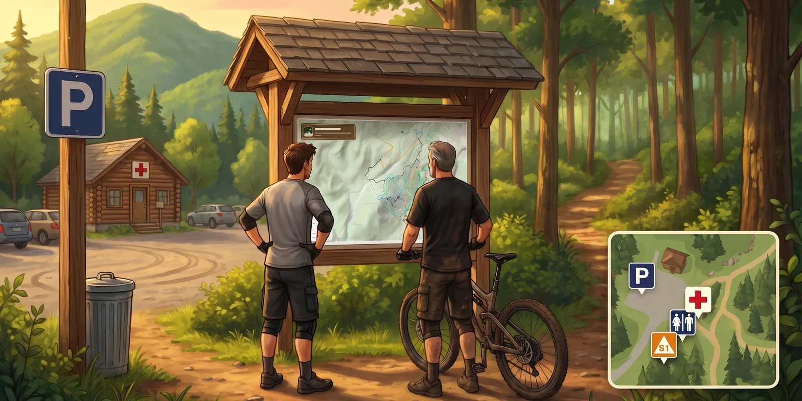
At the trailhead, visitors all ask the same questions: where to park, where the restrooms are, where to find help. Until now, none of that showed on the map.
Sentinel 3.4.0 adds the Points of interest section, under Trails: fifty-two signs, from parking to shelters, that you place with a click on the map. Pick an icon, click as many times as you need, and a message lets you undo the whole series.
Every sign comes set up — Depending on its family, a safety point shows in red, a gate stays with the team, and a repair station only applies to biking. Everything can be changed afterwards in the point's panel, color included.
Numbered triangles — To mark summits or junctions, the text triangle carries a two-character code. Placed in a series, they number themselves: S1, S2, S3.
A name in each language — On a bilingual network, an orange dot flags the missing translation, and everyone reads the point in their own language.
In the field — In the mobile app, tapping a sign opens its panel, even offline. In public mode, visitors only see public points: the team-only ones stay with you.
Points of interest are part of the Standard and Pro plans.
Video tutorial: Points of interest: landmarks to read the map.
Your trails, on paper
The poster in the parking lot ages fast: the day a trail opens, it's already out of date. Sentinel 3.4.0 adds Printable maps, under Trails: a PDF of your network that Sentinel draws from your trails, their difficulties and your public points of interest, over a base map with shaded relief and contour lines.
Three layouts — A poster for the kiosk, up to 24 × 36 in, a Letter sheet for the front desk, or a folded map printed on both sides. The editor's preview is the real PDF, redrawn with every setting.
In your colors — The club's logo, the emergency line and a QR code that opens today's conditions. Every block slides wherever you want, and rules with pictograms or opening hours are one click away.
Always up to date — In automatic mode, new trails join on their own. When a trail, a difficulty or a point of interest changes, every map of the place is rebuilt a few minutes later, and the public link always serves the latest version.
Printable maps are created on the web and are part of the Pro plan. Their public link opens anywhere, on a phone as well as a computer.
The full guide: Printable maps: a poster or a handout of your trails.
Video tutorial: Printable maps: your trails on paper.
Tutorials, inside the app
Sentinel's videos lived on YouTube and in the documentation, far from the screen where the work happens. Sentinel 3.4.0 brings them into the web app: a Tutorials button, at the top of every page, opens the full path, sorted into eight steps, from setting up the network to the review.
The right video first — The menu features the one for the page you're on: on the tasks, the one that shows how to create a task. Elsewhere, it suggests the next one you haven't watched yet, and every video you watch gets its check mark, from one computer to the next.
Watch while you work — The video plays in a small player at the bottom left, which stays put when you change pages. Enlarge it, jump to the next video, or close it in one click.
For new members — On the first sign-in, the menu opens by itself, just once. A section that is still empty also offers, under its buttons, the tutorial that shows it.