A map your visitors understand at first glance
Where to park, where the restrooms are, where to find first aid: your visitors see it on the map, on their phone, even without signal. Your crew also finds its gates, its garage and its fuel storage there, which the public never sees. The same landmarks everywhere, placed once.

What is a point of interest in Trail Sentinel?
A point of interest is a fixed landmark of your network — parking, restrooms, shelter, viewpoint, first aid, gate — shown on the map as a sign. Public points guide your visitors in the app, even without signal; team-only points stay invisible to them.
- Replaces
- The printed map marked up with a felt pen, the trail map redrawn every season, and the "where are the restrooms?" question asked at the front desk all summer long.
- Where it happens
- Placed on the web; shown on Trail Sentinel's maps, in the crew's app and in your visitors' public mode, even offline.
One shelter, placed once, found everywhere
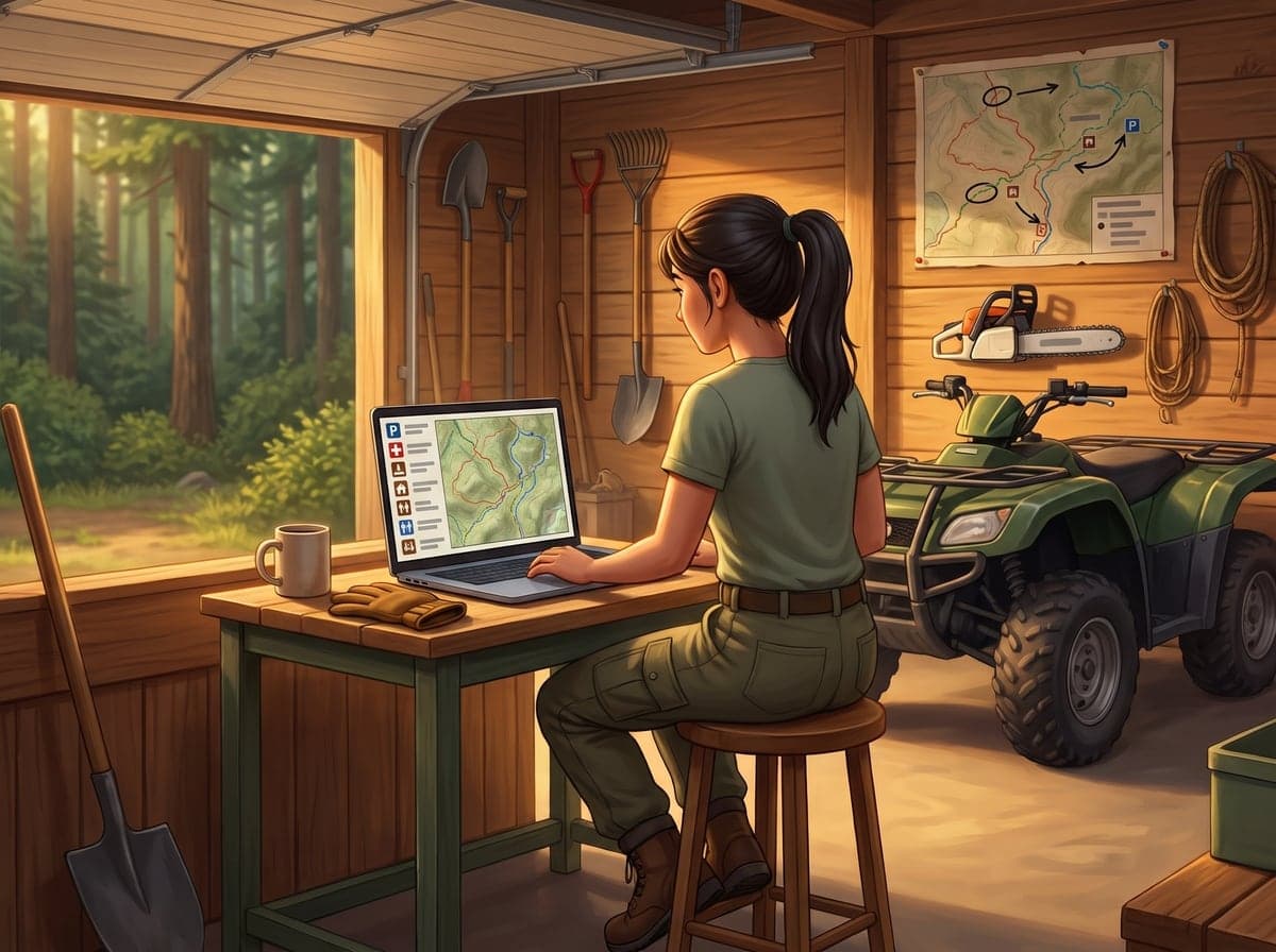
In the garage, Julie picks a sign and clicks the map: each click places a landmark, from the parking lot to the shelter. 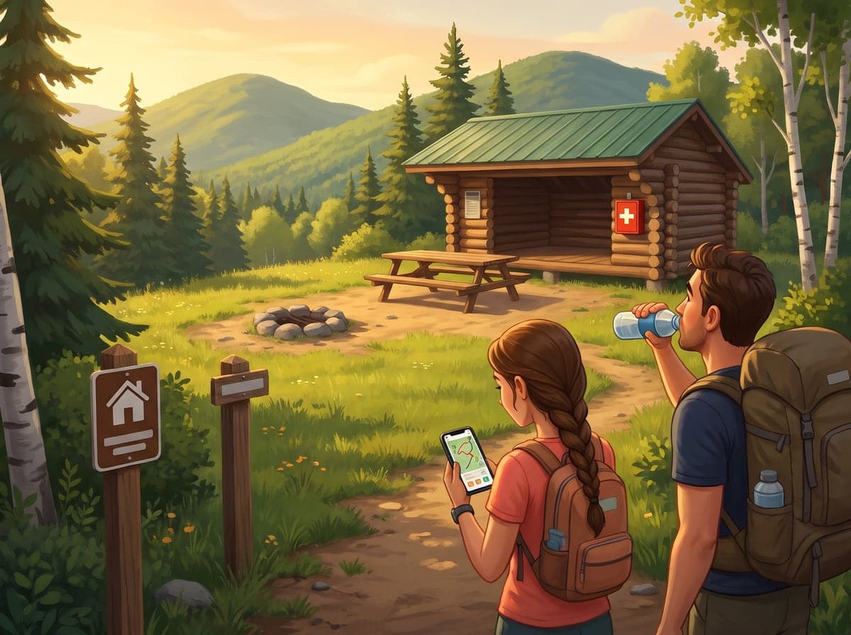
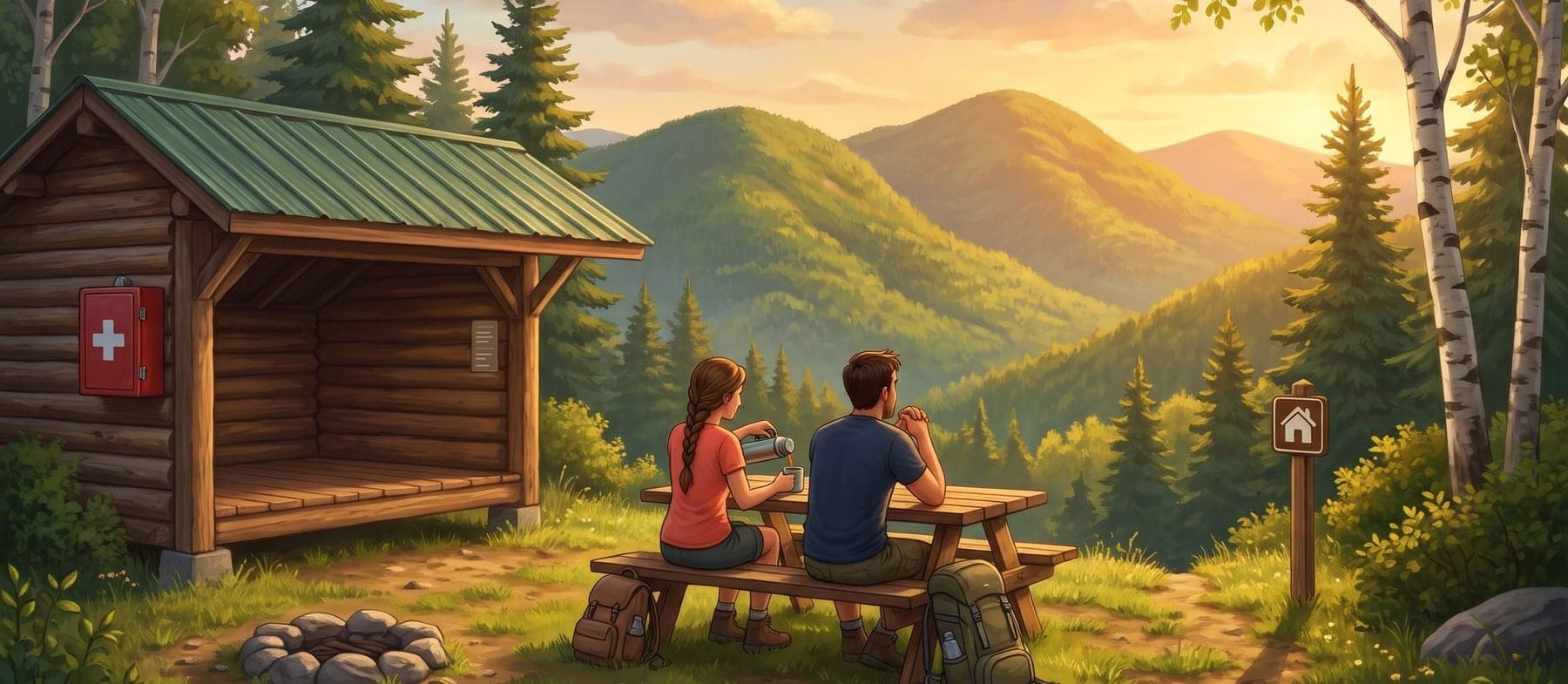
At the end of the trail, two hikers spot the shelter on the map on their phone, even without signal. 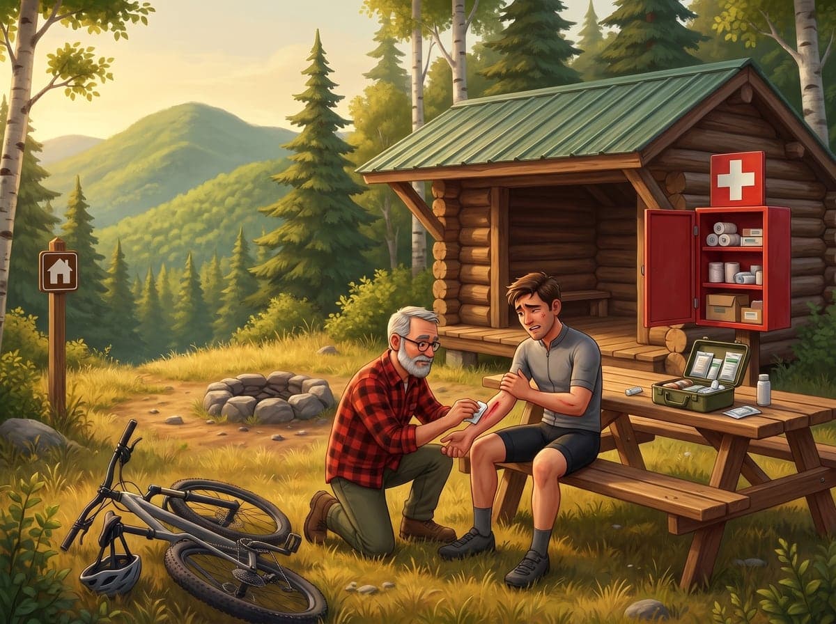
A rider scrapes his arm: Jean, a patroller, spots first aid at a glance, shown in red on the map.
They find their way without calling you
In the app's public mode, your visitors see your trails and, on top of them, everything they look for: parking, restrooms, the shelter, the viewpoint. One tap on a sign and they have the hours or the instructions. The map is in their pocket and it works deep in the woods, without signal. Fewer lost visitors, fewer calls to the front desk, and a first visit that makes people want to come back.
- On their phone, no account to create
- Even without signal, once the map is downloaded
- Only what you make public
First aid stands out before anything else
First aid, defibrillator, emergency phone, hazard zone: safety landmarks show in red, out of the box. An injured visitor, a patroller or a first responder spots them on the map at a glance, and finds them even where the phone has no signal.
- Safety in red, with nothing to set up
- Defibrillator, emergency phone, falling rocks: each has its own pictogram
- The same landmarks for visitors, the patrol and the maintenance crew
What's for the crew stays with the crew
Gates, locks, maintenance garage, fuel storage, work in progress: your crew has its landmarks too. Marked "Team only", they show on the crew's maps, among the tasks and the trails, and never on the visitors' map. The new hire finds the Road 30 gate on day one, without anyone sketching it on a scrap of paper.
- A white sign for the crew, invisible to the public
- At the office on the web, in the field in the app
- You decide in roles who can edit them
A polished welcome, in English and in French
Each landmark can carry a name and a description in both of your network's languages: "Chalet parking" for some, "Stationnement du chalet" for others, with the hours or the instructions. Everyone reads the map in their own language, without you keeping two maps up to date. Out-of-town visitors feel welcome.
- A name and a description in each language
- Each visitor reads their phone's language
- Missing translations jump out at you
Your whole network marked in a few clicks
Pick one of more than fifty signs, then click the map: each click places a landmark. The parking lots, restrooms and shelters of the whole network go down in one sitting, with no form to fill in. And as soon as they are placed, they show everywhere: at the office, in the field and on your visitors' phones.
- More than fifty signs ready to place, from welcome to safety
- One click per landmark, and the whole series undoes in one move
- Placed once, shown everywhere
Before you place your landmarks
Do my visitors see every point of interest?
No, only the public ones. Each point is Public or Team only, and a team-only point is never shown to visitors, neither in the app's public mode nor anywhere outside the team. Icons from the Operations family — maintenance garage, fuel storage, lock, camera — start out as Team only, with a white sign that sets them apart on the map.
Do points of interest show without signal?
Yes. On the phone, they come with the place's data, like the trails, and stay on the Field map even without signal. Tapping a sign opens its card: the name, the icon and the description. The trail map in public mode also keeps the public points offline.
Which points of interest can I put on the map?
More than fifty signs, sorted into five families. Welcome and services: parking, visitor centre, restrooms, drinking water, food, rentals, shuttle. Trails and activities: trailhead, lift, shelter, picnic area, repair station, camping. Nature and viewpoints: viewpoint, lookout tower, waterfall, swimming. Safety: first aid, defibrillator, emergency phone, emergency marker, emergency 911, hazard, falling rocks. Operations: maintenance garage, fuel storage, gate, work site. The library is the same for every network: you don't upload your own icons.
Can a point of interest have a French and an English name?
Yes. When your network has two languages, set in the place profile, each point has a name and a description in each one. Everyone sees the point in their own language: the interface's on the web, the phone's in the app. A translation left empty shows the other language's text, and an orange dot flags the missing ones. The name stays optional: without one, the point takes its icon's name, like "Parking".
Who can add or edit points of interest?
Members whose role can manage points of interest: they see the Points of interest page, in the Trails universe. The others can only view them: they see them on the maps, without the management page. This permission is set in roles, like the others, at the None, View or Edit level.
How it's done, step by step
The step-by-step articles for this feature will be published on launch day, with Sentinel 3.4.0.
The craft behind the tool
Guides from our blog on the work itself, built on agency and federation manuals.
Give your visitors a map that answers their questions
Parking, restrooms, shelters, first aid: place your landmarks once, and your visitors and your crew find them everywhere, even without signal.