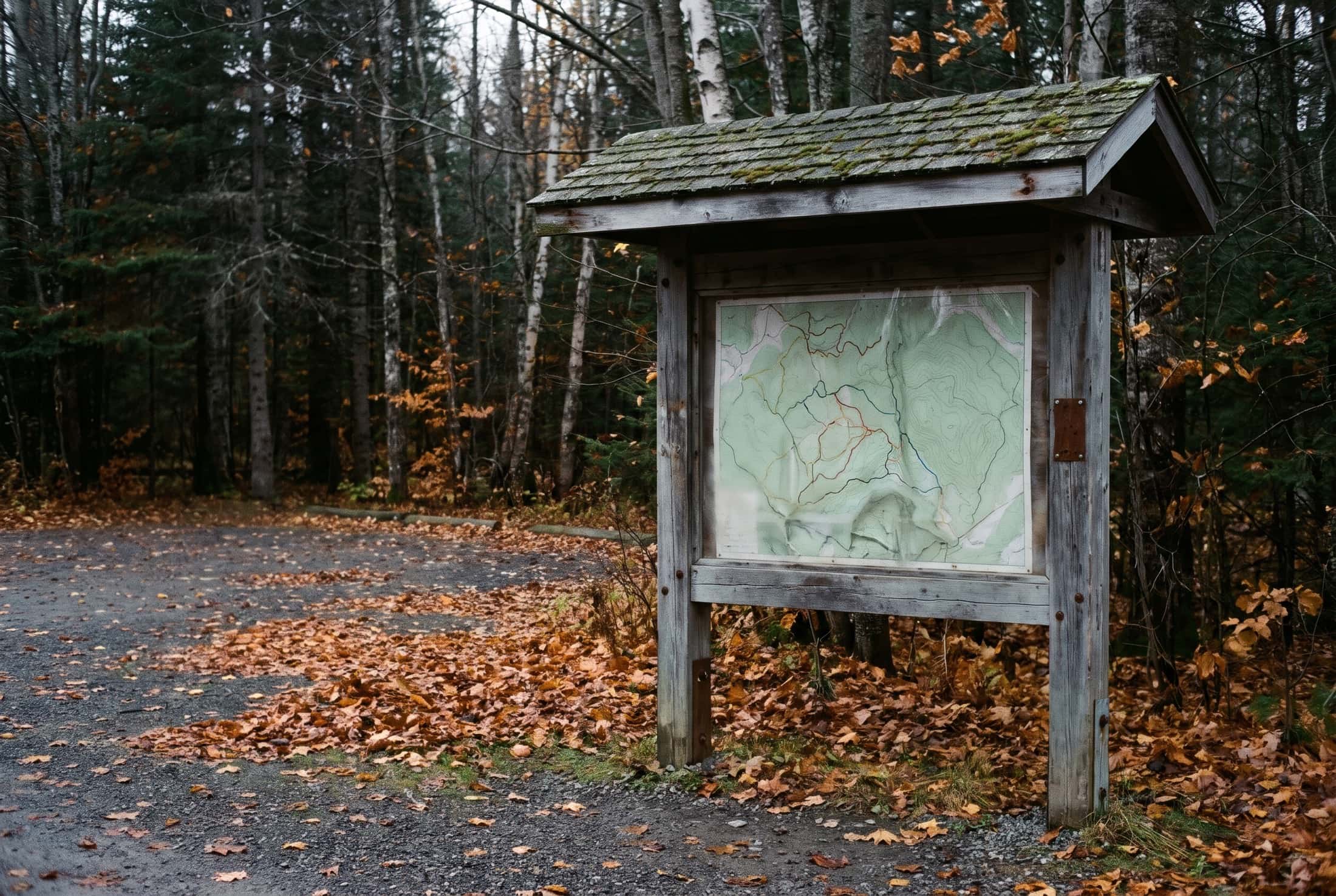
Your trail map, ready to print
A poster for the trailhead, a handout for the front desk, a folded map for the pocket: Sentinel draws them from the trails you already keep up to date. No graphic designer, no drawing software, and never an outdated map on the wall.

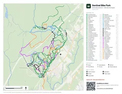
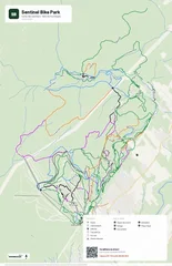
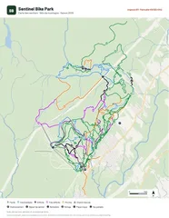
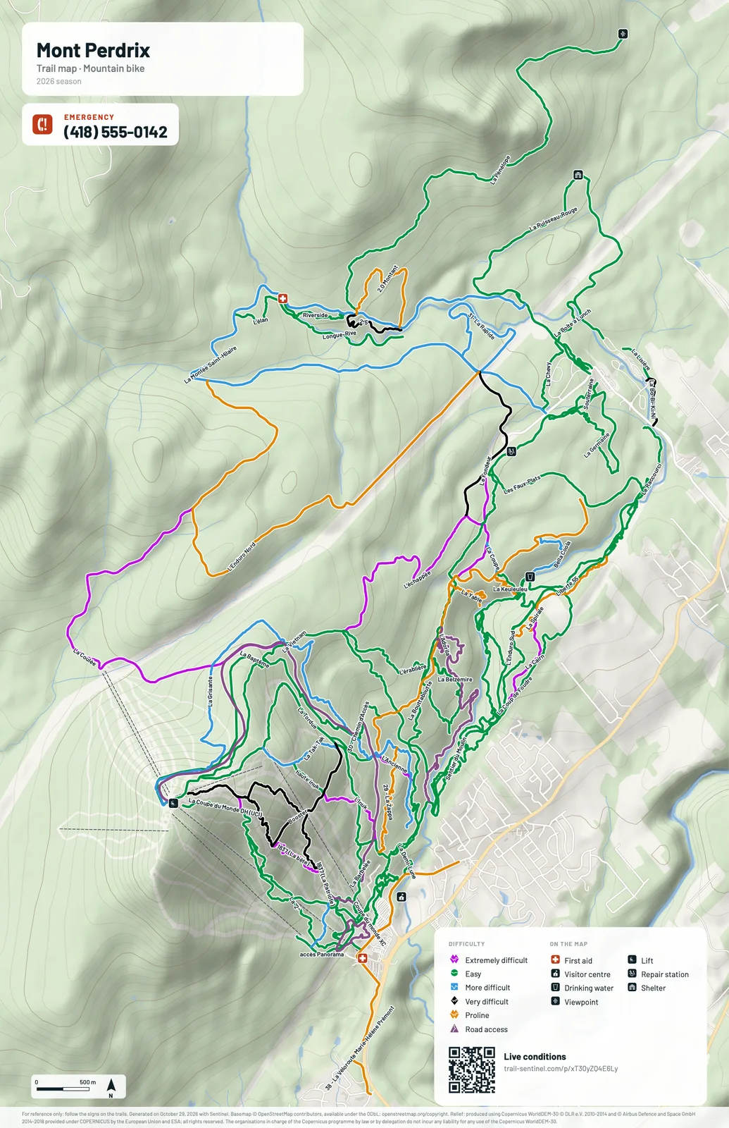
What is a printable map in Sentinel?
A printable map is a PDF of your network that Sentinel produces from your trails, their difficulties and your points of interest, on a basemap with shaded relief. You pick the poster, the sheet or the folded layout, your colors and your logo; the PDF redraws itself when a trail changes, and its public link always gives the latest version.
- Replaces
- The map redrawn every season in drawing software, or ordered from a graphic designer, and already wrong the day a trail changes.
- Where it happens
- Created and edited on the web, under Trails → Printable maps; downloaded as a PDF for the print shop, or shared through their public link.
One map, from the print shop to the trailhead

Marie unrolls the poster back from the print shop, drawn by Sentinel from the up-to-date trails, no designer needed. 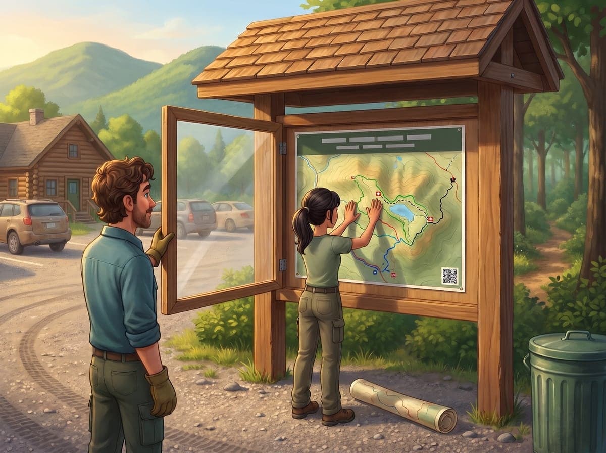
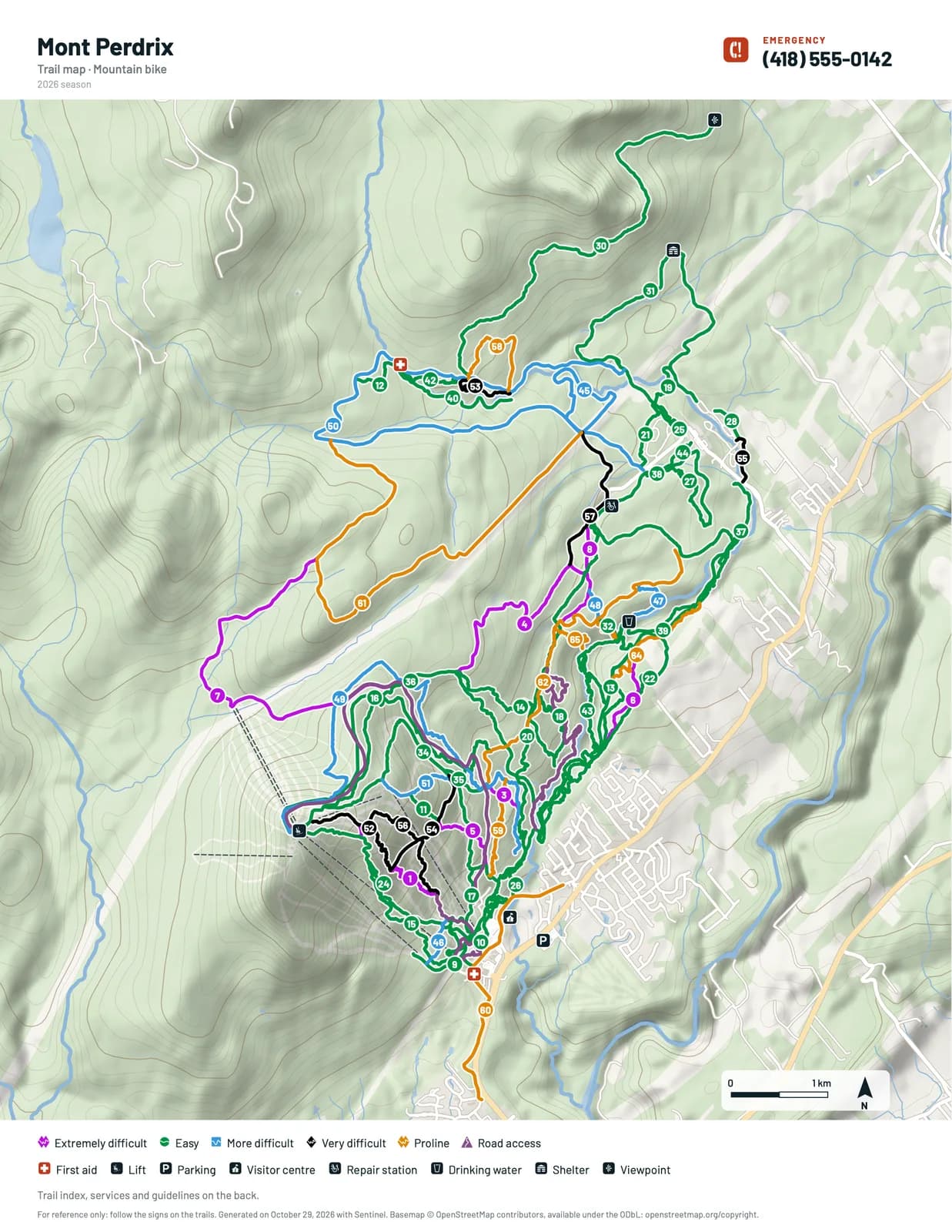
At the parking-lot kiosk, Marc and Julie put up the poster: every trail with its name, along its line. 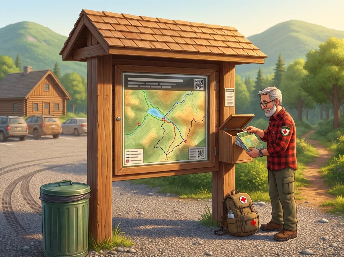
Jean refills the box of pocket maps: emergency line front and center, first aid in red, no battery or signal needed.
The right map at every spot of your network
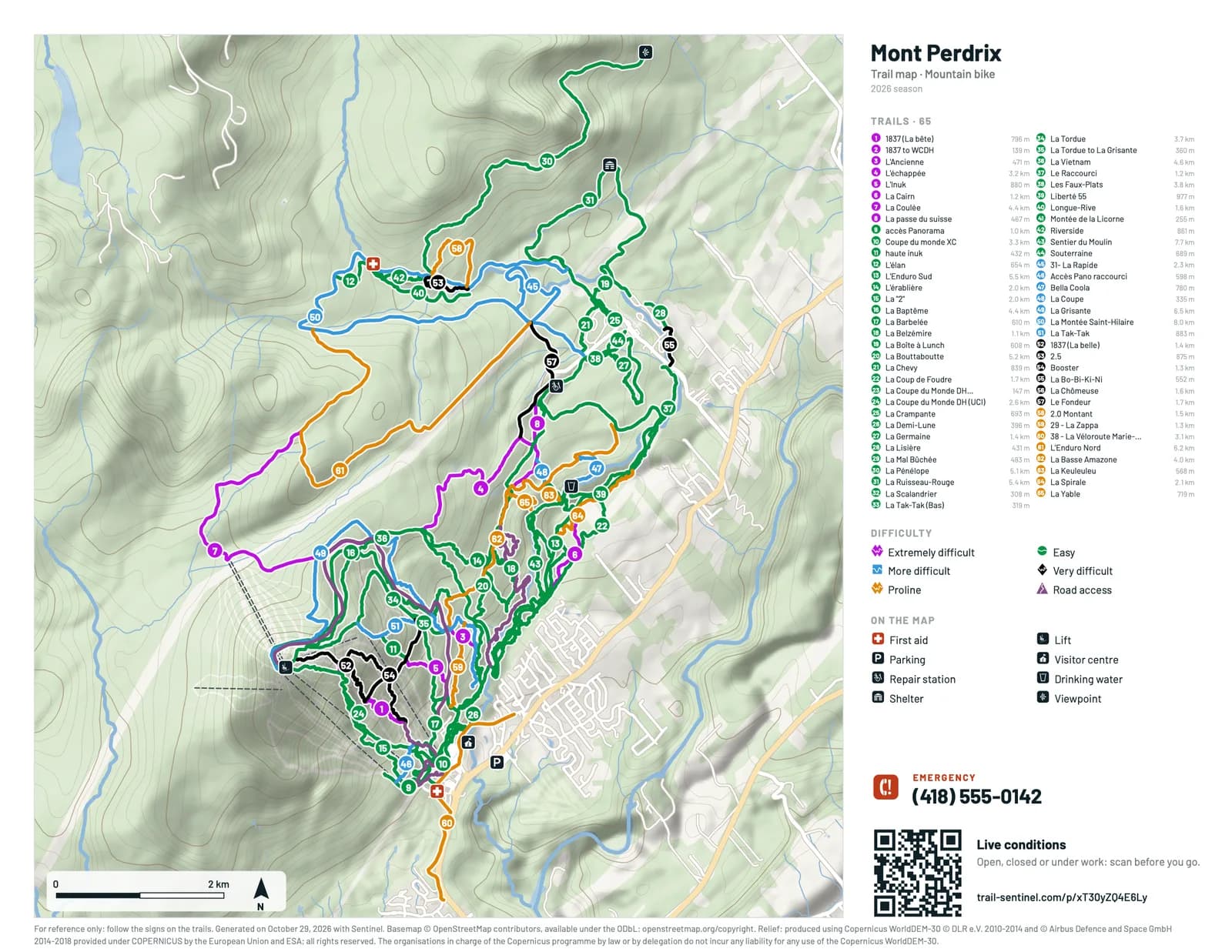
At the parking-lot kiosk, a large poster with every trail's name along its line. At the front desk, a handout people take with them, with a numbered index. In the backpack, a folded map that keeps the index and services on the back. Three layouts drawn from the same trails, on a real basemap with shaded relief and contour lines.
- Posters from 11 × 17 in to 24 × 36 in, or A3 and A2, portrait or landscape
- Letter sheets and folded maps, ready for the office printer
- Your difficulties, your points of interest and each trail's length, with nothing to retype
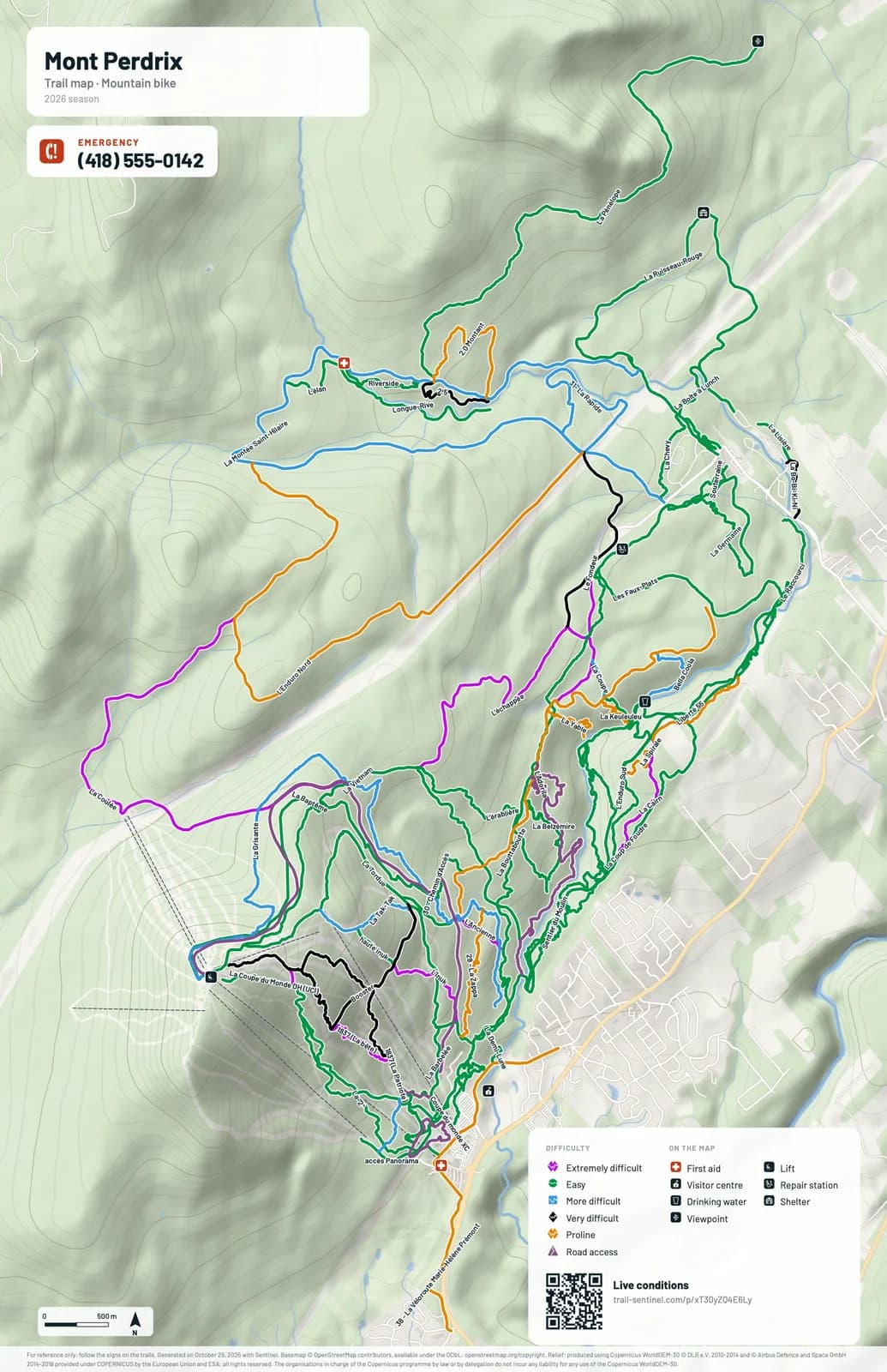
Never an outdated map at the trailhead again
A trail closed for the season, a rerouted line, a new shelter: a few minutes later, all your maps are redone. Nobody reopens a file or calls the designer back. Each map's public link always serves the latest version: put it on your website once and it never goes stale.
- Every map redoes itself when your trails, difficulties or points of interest change
- One always-current public link per map, for your website or an email
- One map per need: general, per sector, evacuation routes
The emergency number in print, where phones lose signal
Paper needs no battery and no signal. Every map shows your emergency line prominently, the number in large type, and your first-aid stations stand out in red on the trails. A visitor who gets hurt deep in the network knows who to call and where to head.
- The emergency line on every format, at the top of the map
- First aid in red, spotted at a glance
- An evacuation-routes map for the patrol, alongside the visitors' map
The paper map that knows the trail is open this morning
A printed map can't know a trail was closed after the storm. Its QR code can: it opens the public page of your trail conditions, the one your crew keeps current. Visitors scan at the trailhead and head out on an open trail.
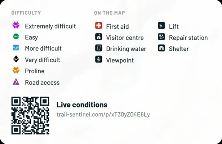
- The QR code leads to your published conditions: open, closed or under construction
- Nothing to copy: link the map to your conditions with one choice
- Or to any page you like: your website, your rates, your hours
A map that looks like your trail center
Your logo, your center's color, a title as a card, a banner or a wooden sign: the map carries your identity, in a light or dark version. Every block moves and resizes on the page, and you add your rules with their pictograms, your opening hours or an arrow to the heated lodge.
- Your logo and your color on the title and blocks
- Five title styles, light or dark
- Rules with pictograms, opening hours and arrows, placed where you want
Before you hit print
Does the map update when I change a trail?
Yes. When a trail, a difficulty or a point of interest changes, every map of the place redoes itself a few minutes later, published or not. The PDF to download and the public link always give the latest version: you only need to replace the copies already printed.
Which formats can I print?
Three layouts: the poster, in 11 × 17 in, 24 × 36 in, A3 or A2, portrait or landscape; the Letter sheet in landscape, with a numbered trail index; and the folded Letter map, with the map on the front and the index and services on the back. Each map downloads as a PDF, ready for the office printer or a print shop.
Where does the basemap come from?
The basemap is drawn from OpenStreetMap: roads, waterways, forests and buildings. The shaded relief and contour lines come from the Copernicus elevation model. Both allow printing, and their required credits are printed at the foot of the map. The trails come from Sentinel: the map shows your trails, not OpenStreetMap's.
Do my private trails and team landmarks show on the map?
Not without your say. In automatic mode, the map takes the activity's public trails; a private trail only appears if you check it, and publishing the link of a map that contains one asks for confirmation. Team-only points of interest are never printed: only public points appear.
Which plan includes printable maps?
Printable maps are part of the Pro plan and the Community plan. Within the place, a role must also allow managing them: by default, only administrators create, edit and publish maps, and you can open this permission to other roles.
How it's done, step by step
The step-by-step articles for this feature will be published on launch day, with Sentinel 3.4.0.
The craft behind the tool
Guides from our blog on the work itself, built on agency and federation manuals.


Give your visitors a map they'll want to keep
Poster, handout or pocket map: print your network's map in your colors, and let Sentinel keep it up to date.