Annotate the map to explain every task
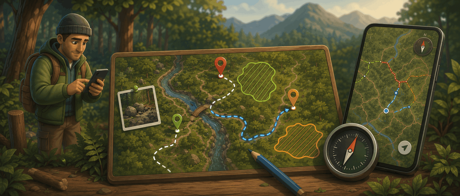
A task isn't always just a point on the map. Sentinel 2.7 lets you annotate the map directly as you create or edit a task, with three tools: the point, the line, and the zone. It makes your tasks far more vivid and shows, at a glance, what to do and where to do it.
No more vague explanations buried in a description field: you draw the information right where it matters, on the ground itself.
Points of interest, with photos — Add points around the task to flag everything that matters for getting it done. A trail task that requires fetching rocks deeper in the woods? Mark the exact spot with a point and attach one or more photos, so there's no doubt about what to look for.
Lines and tracks — Draw a line to show a route, an access path, or a bypass — for instance a detour to build at the exit of a section. In the field, record the track simply by following your GPS position as you walk; or draw it by hand directly on the map. Either way, the route appears clearly on the task.
Zones to outline — Circle a zone to flag a constraint or a perimeter to respect. Building a new section of trail and need to protect a nearby wetland? Outline it as a zone right on the map: the team knows exactly what to avoid before they even get there.
In the field and at the office
Annotations are available everywhere: on the mobile app, to draw on site the moment you spot the work to be done, and on the web app, to prepare a task from the office. They can be added both when creating and when editing a task.
Each annotation can be given a name and a color, to tell an access path from a sensitive zone or a point of interest at a glance. And because everything syncs, an annotation drawn on the web shows up in the field on the task's detail, and vice versa.
Closing the loop
With the description, photos, voice notes, and materials already attached to every task, annotations complete the picture. A Sentinel task no longer just says what to do: it shows where, with what, and how — on the map as much as in the detail. One more way to make sure every job is understood without ambiguity — and done right the first time.
Your trail conditions, now on a map
The public trail-conditions widget, introduced in Sentinel 2.5, can now show a map beside the list. Your visitors no longer just read statuses: they see your whole network at a single glance.
The whole network at a glance — Trail paths appear on the map, colored by their condition: open, closed, or under construction. The state of your network jumps out, with no need to scan the list line by line.
Standard or satellite view — Pick the base map that shows your network best: a clean standard base map, or satellite imagery to place the trails in their real-world surroundings.
A livelier experience — The list and the map sit side by side, for a more visual, more dynamic, and more intuitive way to check conditions — embedded right in your website, without visitors ever having to leave it.
In the field, the map follows you and scans your surroundings
The location button on the mobile map gains three modes, one tap after another. The first recenters on your position. The second locks the map onto you and follows your every move. The third brings you back to the overview of your whole network.
A scan mode that surfaces what's nearby — As soon as the map locks onto you, a radius appears around your position and automatically surfaces the tasks and structures within a few dozen metres of you, without touching your filters. As you walk, you spot at a glance everything there is to do right beside you — like a detector.
Always in the right place, without thinking about it — The map recenters on you with every step, while respecting your zoom: set it once and it sticks. And because the follow reuses your already-active GPS position, it adds no extra battery drain.
Even offline — Scan mode works online and off: nearby tasks and structures show up even deep in an area with no signal.
A compass to keep your bearings
On the mobile app, a compass now appears on the map as soon as you rotate it. It always points north and, with a single tap, snaps the map back to north so you can get your bearings in an instant. When the map is already aligned to north, the compass fades away on its own to keep the screen uncluttered.