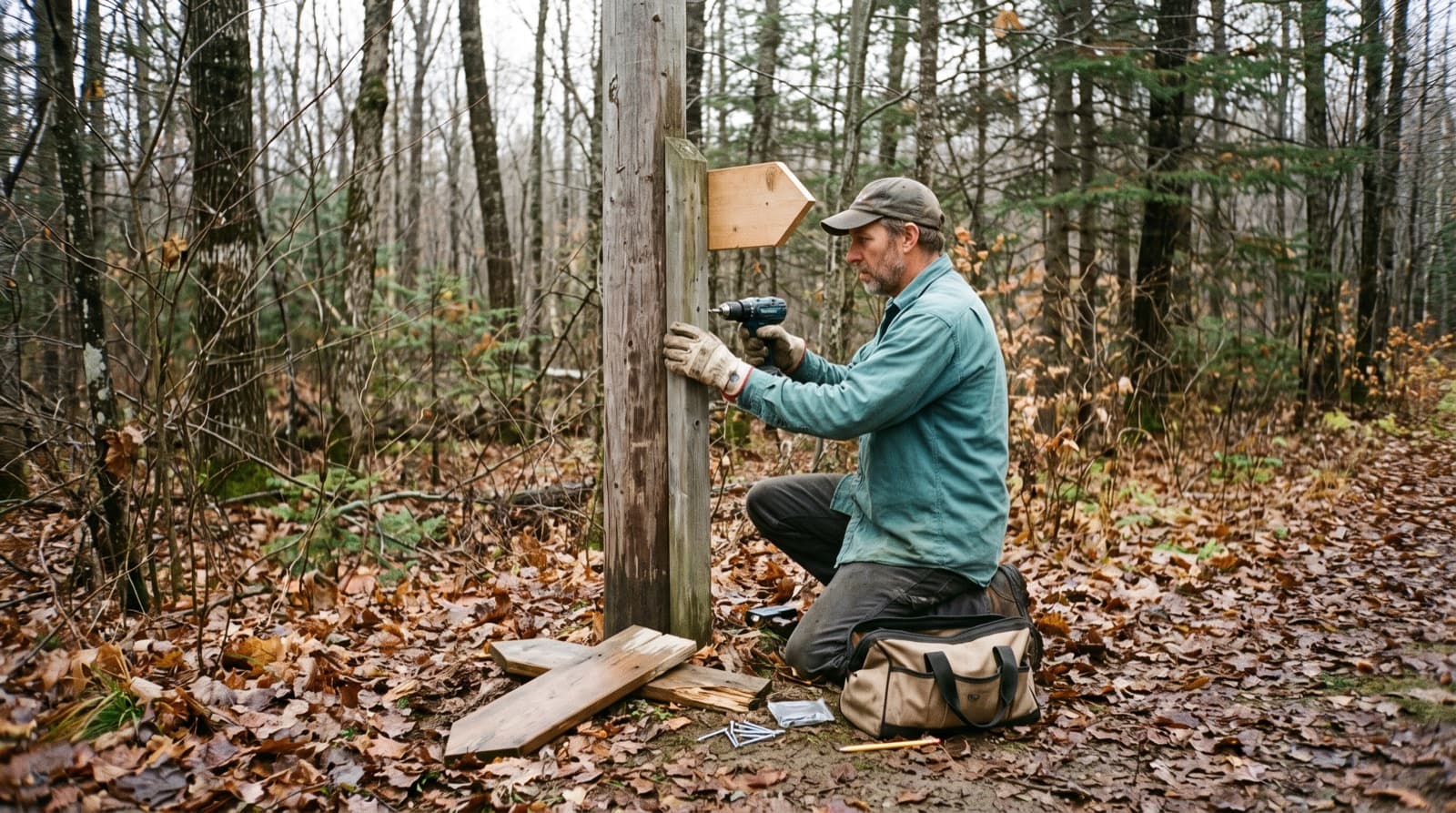
Trans Canada Trail estimates that a trail sign lasts about ten years, which means replacing roughly 10% of your signs every year (Trans Canada Trail). On a network with 200 signs, that's about twenty replacements a season, before counting vandalism, fallen trees, and the winter signs that go up and come down every year.
This guide collects what the main signage guides from the United States, Canada, Québec and France say about the kinds of signs a network needs, where they go, how long they last, and how to keep track of them. Sources are listed at the end.
The signs a network needs
At the trailhead
The trailhead sign is often the only one people read from top to bottom, and the content lists overlap from guide to guide. The US Forest Service puts the map, facilities, emergency numbers, permits and office contact on its kiosks. The Appalachian Trail Conservancy adds a "you are here", the name of the managing organization and the rules. Vélo Québec's signage guide for mountain bike and fat bike trails calls for the code of conduct, the map, each trail's name and rating, a helmet reminder and the first emergency marker.
At junctions
Trans Canada Trail asks for signs facing both directions of travel at every decision point, at least two per decision point, and no more than one kilometre between signs (Signage Guidelines). Vélo Québec advises against listing every trail in the network at each junction: show the next three.
Between junctions
Confirmation markers tell people they're still on the right trail. The French hiking federation's marking charter is explicit: confirm the new direction every time, right after the fork. For spacing after that, the guides vary with the setting:
- three to four markers per mile in the woods on Wisconsin's off-highway vehicle trails (Wisconsin DNR);
- a mark every 250 to 300 m on the French federation's bike routes;
- a simpler rule in the old Québec hiking federation guide: from each marker, you should be able to see the next one (FQM, 2004, in French).
In France, colours are standardized too: long-distance GR routes are marked white over red, shorter PR routes in yellow, and a cross marks the wrong way.
Difficulty ratings
For mountain biking, North America mostly uses IMBA's system, adapted from ski area trail marking: white circle (easiest), green circle (easy), blue square (more difficult), black diamond (very difficult) and double black diamond (extremely difficult) (IMBA Canada). IMBA notes that the system rates technical difficulty, not physical effort.
In Québec, Vélo Québec's classification guide, inspired by IMBA, uses four levels, Easy to Very difficult, with minimum widths of 1 m, 0.6 m, 0.3 m and 0.2 m and maximum-grade sections of 10, 15, 20 and 25%.
Ski runs in Europe aren't uniform either: blue, red and black are used everywhere, with green added in France, Spain and a few other countries. The Ski Club of Great Britain sums up the limit of all these systems: one resort's blue might be another resort's red. What matters to your users is that the rating on the sign matches the rating on your map.
Warnings
A warning has to come before the hazard, far enough ahead to react. The US Forest Service says exactly that in its sign guidelines. The distances depend on speed. The Minnesota DNR manual puts snowmobile direction signs at least 50 feet before the turn, and STOP AHEAD 300 feet before a crossing. Vélo Québec uses a plaque giving the distance to the hazard: 5, 10 or 15 m.
Emergency markers
This is the sign that matters most on the day something goes wrong. Vélo Québec's guide describes a 150 × 150 mm sign carrying a phone number and a marker number. The first one goes at the entrance, with a suggestion for riders: take a photo of it with your phone. The others go in high-risk areas and at meeting points. The trail center maps its markers for its own staff and for emergency services.
German forests use numbered "rescue points" whose coordinates are loaded into the dispatch center's system (Volksstimme, in German). Both examples make the same point: a marker only works if the responders have the table linking each number to a place.
Placement and legibility
A few numbers that come up across the guides:
- Letter height. The US Forest Service asks for at least 1 inch on foot trails, and at least 2 inches on 12 × 12 inch signs for bike, ski and motorized trails. Its equestrian guide adds an inch of letter height for every 10 feet of viewing distance (USFS).
- Mounting height. Vélo Québec recommends 1.2 to 1.6 m with 1 m of clearance; Trans Canada Trail, 4.5 to 5 feet, set 2 to 4 feet off the trail edge.
- Winter. Wisconsin asks for at least 40 inches above the snow depth; Minnesota, 3 to 4 feet above expected snow. Trans Canada Trail points out that people travelling fast are less likely to notice small signs.
- Names. The US Forest Service only allows names and numbers that appear on the most current map. Vélo Québec makes the same point from the other side: whatever an app shows has to be confirmed on the ground by clear signs. If the sign says "North Loop", your map, your website and your conditions page should say "North Loop".
When the budget is tight, Vélo Québec's principles document suggests an order: rules and emergency numbers at the entrance first, then maps at junctions, then emergency markers, then major hazards (Vélo Québec, 2020, in French).
How long they last
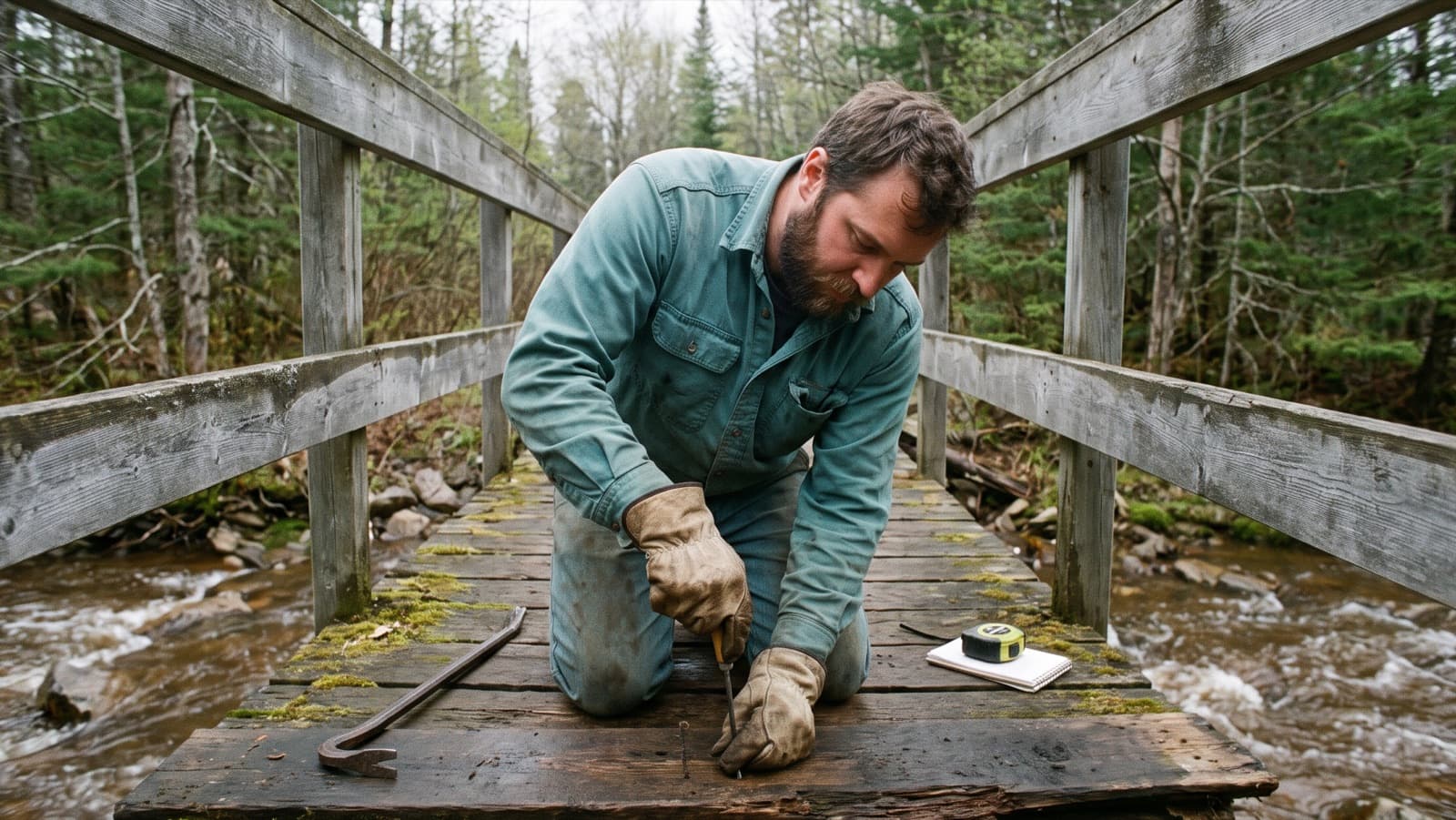
Material decides lifespan. Vélo Québec's guide gives 0 to 3 years for Coroplast without UV film, 3 to 5 years for Alupanel, and 10 years or more for aluminium or wood. Trans Canada Trail recommends inspecting after winter and removing graffiti quickly.
The guides agree that signs need regular checks and differ on how often. The French federation asks for every route to be walked at least once a year to check and refresh the markings. Vélo Québec's inspection log checks signage before the season, then monthly and after every major weather event. The old Québec hiking guide aimed for monthly visits, with a minimum of snowmelt, full summer leaf-out, after storms and after every complaint.
Keeping an inventory
We didn't find an inventory standard written specifically for trail signs. The most complete model comes from road signs: the US Federal Highway Administration recommends recording, for each sign, a unique ID, GPS location, sign type, installation date and support, then for every inspection the condition, the work done, the date and the inspector (FHWA). On the trail side, the French federation numbers every post, and the Québec hiking guide added inspection frequency, annual cost and the person responsible.
The inventory also matters after an accident. The FHWA notes that inspection and maintenance records help defend against claims of insufficient signing. Vélo Québec presents its inspection log as a record of the organization's diligence. Rails-to-Trails Conservancy gives the same advice in its liability primer: inspect regularly, and document what you found and what you did about it. This isn't legal advice; your insurer or land manager can tell you what they expect.
To get started, one season is enough. Walk or ride each trail once, photograph each sign and record its position, numbering trail by trail: "the third sign on Ridge Loop" is easier to find than "sign 147". Note the junctions with no sign as well; that's work to schedule.
In Sentinel
In Sentinel, signs are structures: Sign is one of the types installed with every account, alongside Bridge, Drain and Jump. On mobile you create a sign from the map, standing in front of it, with its photo, even with no signal. Numbering can run by itself trail by trail (SIGN-001, SIGN-002), and each inspection produces a dated report with photos, a risk level and the date of the next visit (Structures and their inspection reports, Structure types). The Excel export gives you the full inventory with coordinates and overdue inspections; the PDF export, the latest reports for your insurer or municipality.
Sources
- US Forest Service, Sign and Poster Guidelines, chapter 5; Equestrian Design Guidebook; Kiosks and Information Boards.
- Trans Canada Trail, Signage Guidelines, 2018, and Maintaining Signs.
- Vélo Québec, Guide de signalisation vélo de montagne et fatbike, 2023; Principes de signalisation, 2020; Guide de classification des sentiers de vélo de montagne, 2023; Journal d'inspection, 2025 (all in French).
- Fédération française de la randonnée pédestre, Charte officielle du balisage et de la signalisation, 2019 (in French).
- Fédération québécoise de la marche, Aménagement, évaluation et entretien des sentiers pédestres au Québec, 2004 (in French).
- Appalachian Trail Conservancy, Planning a Trailhead Kiosk, 2012.
- IMBA Canada, Trail Difficulty Rating System, 2018.
- Minnesota DNR, Snowmobile Maintenance and Grooming Manual, 2013; Wisconsin DNR, Trail Signing Handbook, 2019.
- Federal Highway Administration, Maintenance of Signs and Sign Supports.
- Rails-to-Trails Conservancy, Rail-Trails & Liability, 2000.
- Ski Club of Great Britain, Piste maps; Volksstimme, Rettungspunkte für den Notfall, 2019.