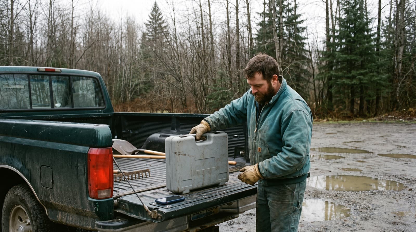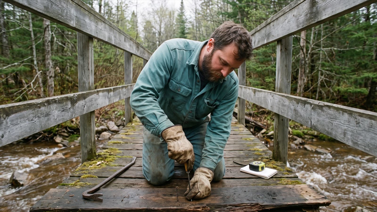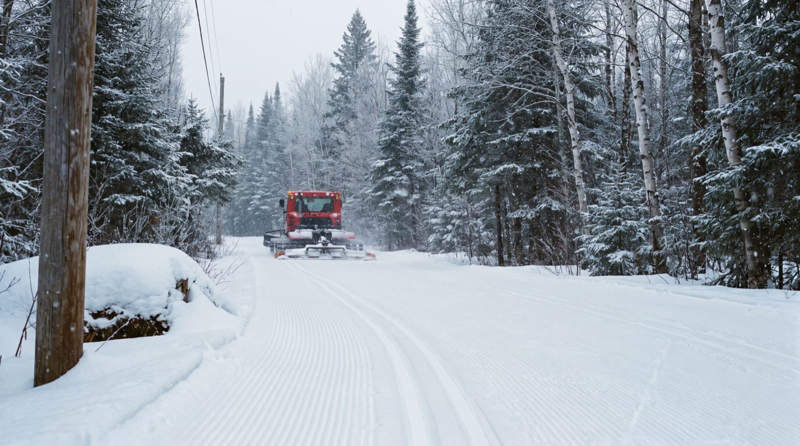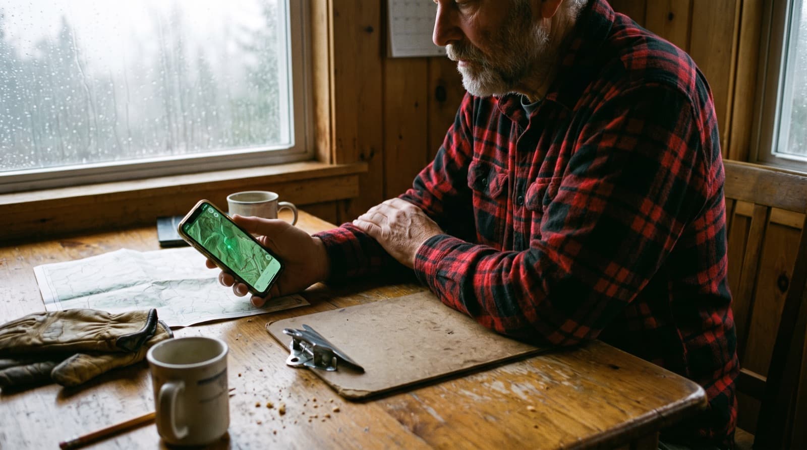
In 2013, the US Government Accountability Office described how the Forest Service assessed trail condition: with a measuring wheel and notes taken by hand. Staff found the work burdensome, and the data mostly served to report upward. The agency planned to move to tablets (GAO). Ten years later, a Forest Service team in Alaska described its new mobile data collection tool, and the problems that came with it (USFS, 2023).
The move to digital is happening, slowly, and it doesn't always go well. This article collects what organizations that made the switch have written about it: what changes, what gets in the way, and how to go about it. Sources are at the end.
What changes
Reports arrive with their location
This is the most concrete gain. The Wildlands Conservancy in Pennsylvania received its volunteers' reports through an online form. Staff re-keyed them, and with no coordinates, someone then had to go and find the problem in the preserve. In 2026 the organization adopted an app that records the location with every report, and kept the old form running during the rollout (Wildlands Conservancy).
Data stops living in people's heads
In a Penn State capstone project, Todd describes trail data stored in random files and spread across multiple volunteers (Todd, 2014). When one of them leaves, part of the network's history leaves too. A shared record doesn't solve everything, but it solves that.
There's a record
Several risk management guides come back to the same point: document inspections and what you did about them. Rails-to-Trails Conservancy considers regular, well-documented inspections, along with the fixes made, a sound defense if an accident happens (RTC). The trail risk management policy of the Squamish-Lillooet Regional District in British Columbia calls documentation and maintaining standards of service critical (SLRD). In Québec, Vélo Québec presents its inspection log as a record of the organization's diligence (Vélo Québec, in French). A paper log does the same job, as long as someone keeps it up. Digital just makes it easier to keep and easier to find.
The season report becomes possible
The Adirondack Mountain Club's 2025 end-of-season report is a good example: 4,680 person-hours for the professional crew, 2,816 hours from 109 volunteers on crews, and 1,437 hours from 218 trail stewards and lean-to adopters (ADK). Numbers like these can't be rebuilt in November; they get recorded as you go.
What gets in the way
The device isn't always better than paper
A 2012 University of Ottawa thesis compared data collection on a smartphone and on paper. The smartphone turned out to be more error-prone and slower, with more equipment failures; only data transfer was faster (Kennedy, 2012). Hardware has changed a lot since, but the lesson holds: test a tool with the crew, in the field, before rolling it out.
Training
The Forest Service team in Alaska found very different skill levels across the crew, and in-person training worked better than remote sessions (USFS, 2023).
Cell coverage
The same team flagged on-site connectivity as a challenge. On a trail network, no signal is the rule rather than the exception: a tool that doesn't work offline won't get used where it's needed.
Double entry
In Acton, Massachusetts, trail stewards looking at a reporting app spotted the problem right away: they would still have to copy each report into the shared spreadsheet (meeting minutes, 2021). As long as the old system stays the reference, the new tool adds work.
More admin
Australian mountain bike club leaders interviewed by Flow Mountain Bike describe admin that always lands on the same few people; one notes that mandatory volunteer registration and training made maintenance harder to organize (Flow Mountain Bike, 2026). A tool that asks every volunteer to create an account and fill in fields can have the same effect.
How to make the switch
Putting these experiences together, a few rules emerge:
- Start with one use. Reporting problems on a map is often the easiest to get adopted, because it replaces something people already do: a text or a phone call.
- Keep the old channel during the rollout, like the Wildlands Conservancy did, then close it on an announced date to avoid double entry.
- Train in person, in the field, and expect some people to need more time.
- Pick a tool that works offline.
- Ask as little as possible of occasional volunteers. A photo and a location beat a ten-field form.
What doesn't change
The work is still done with a shovel, a saw and someone who knows the ground. The guides behind this article all talk about documentation, priorities and schedules, but none of them suggests a tool replaces the inspection itself. Digital changes how fast information moves and how easy it is to find. The rest still depends on the crew.
In Sentinel
Here's how Sentinel handles several of these points. The mobile app works offline and syncs when the signal comes back. Problems are reported from the map with a photo and location, and the public can report without an account. Structure inspections produce dated reports you can export as PDF, and time is logged on each task for the end-of-season report.
Sources
- Government Accountability Office, Forest Service Trails, GAO-13-618, 2013.
- US Forest Service, Mobile GIS tool streamlines work for field-going technicians, 2023.
- Wildlands Conservancy, New GIS App Streamlines Adopt-a-Preserve Reporting, 2026.
- D. Todd, GEOG 596B capstone, Penn State, 2014; R. Kennedy, thesis, University of Ottawa, 2012.
- Rails-to-Trails Conservancy, Rail-Trails & Liability, 2000; Squamish-Lillooet Regional District, Risk Management for Trails and Open Spaces, 2009.
- Vélo Québec, Journal d'inspection et méthodologie de l'entretien, 2025 (in French).
- Adirondack Mountain Club, Trails Program 2025 Field Season Work Report, 2025.
- Acton Land Stewardship Committee, minutes of February 16, 2021; Flow Mountain Bike, Battling burnout, 2026.